Hiking on the Tyrolean side of the Zugspitze

Hikes in Ehrwald, Lermoos & Biberwier

© Tiroler Zugspitz Arena / Valentin Schennach

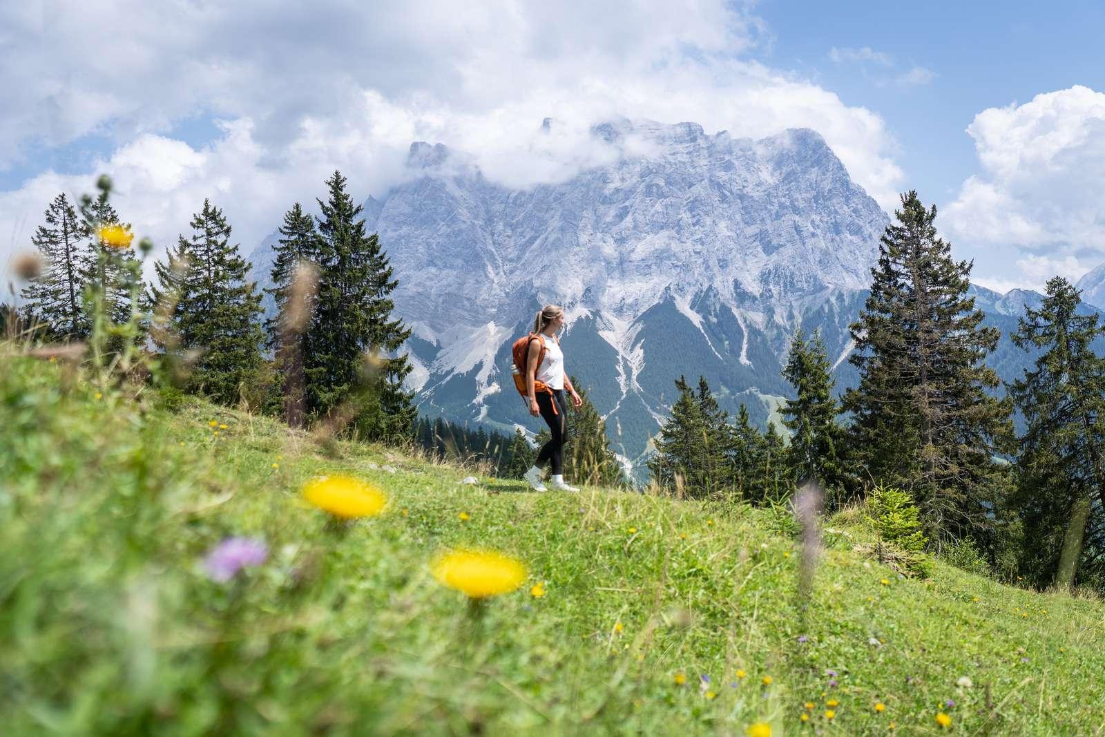
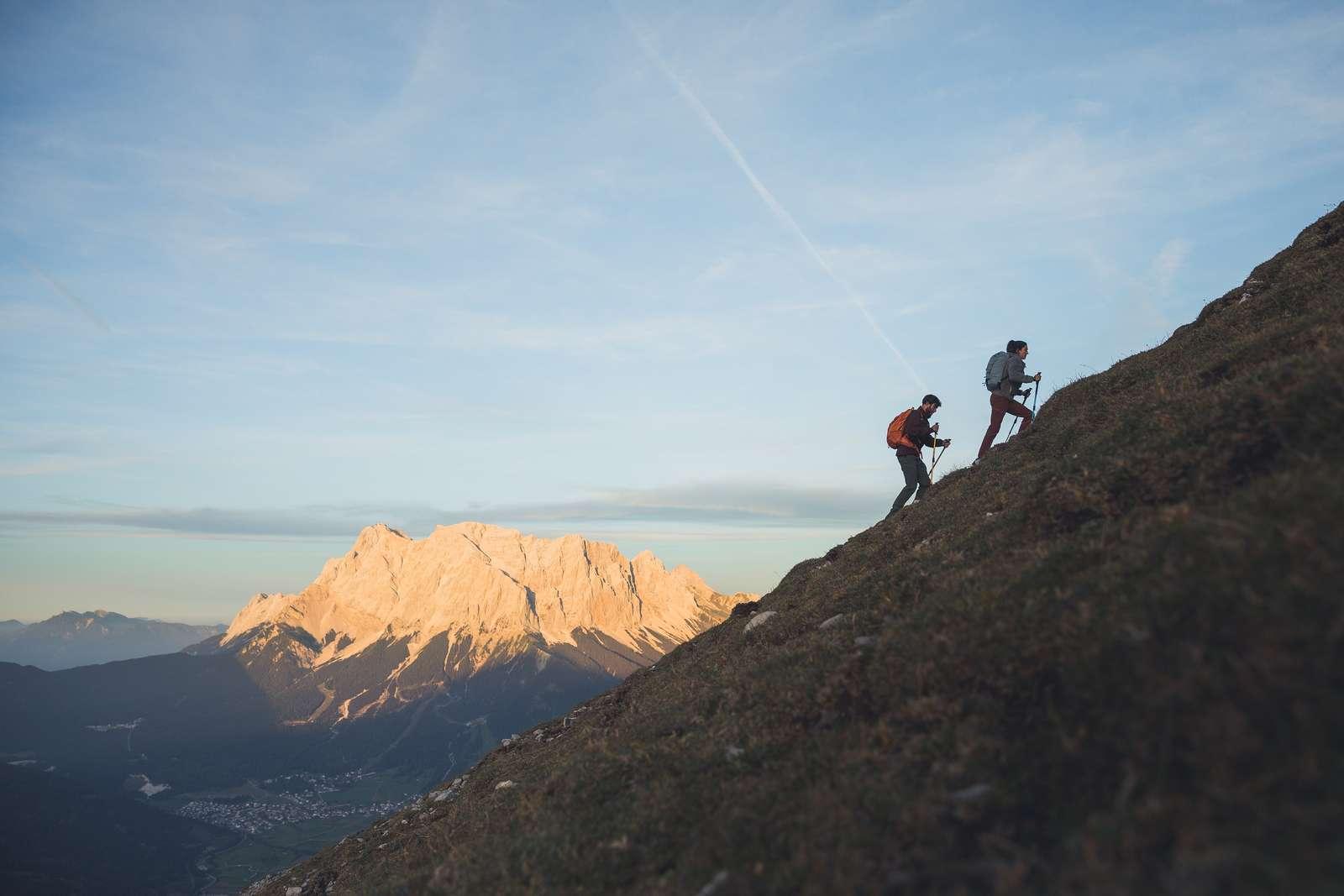
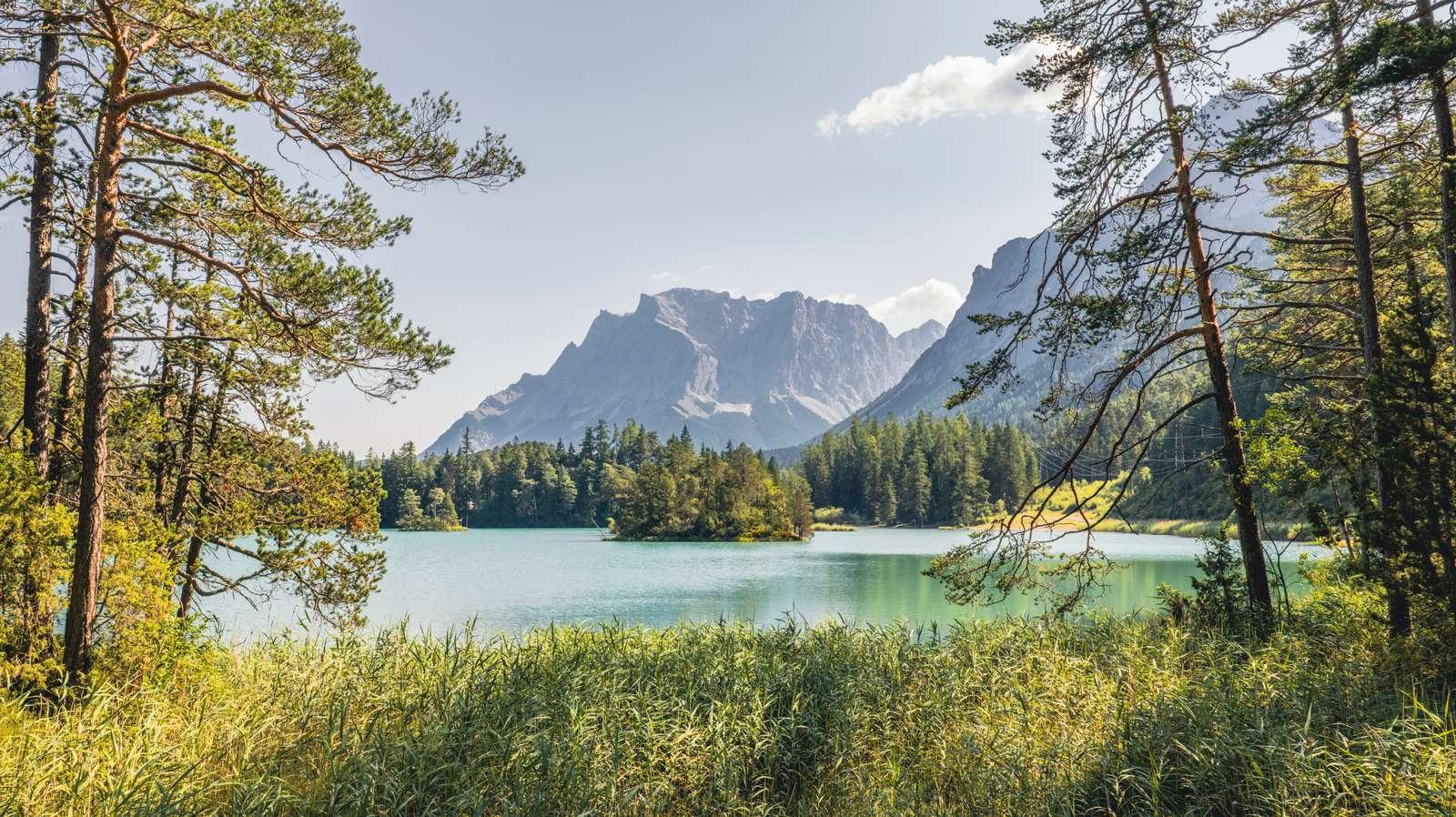
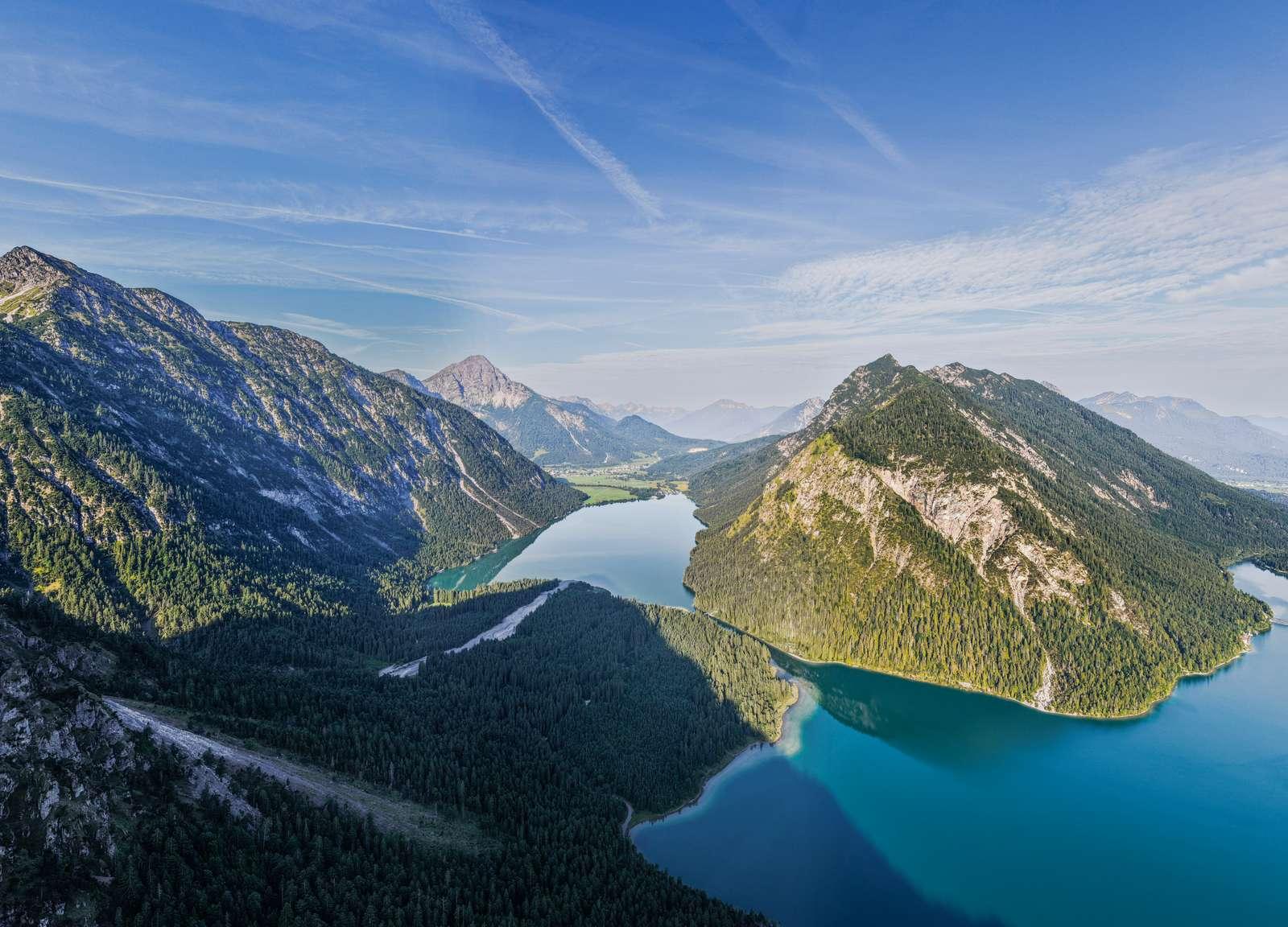
Turquoise mountain lakes, cozy alpine huts, and peaks offering views of the Zugspitze: Around Ehrwald, Lermoos, and Biberwier, approximately 150 kilometers of hiking trails weave through the Wetterstein, Mieminger chain, and the Fernpass area. Here you will find 19 selected tours with walking times, elevation gains, and dining tips – filter by location, difficulty, or theme.

19Selected Tours
150 kmHiking trails in the region
15Mountain and swimming lakes
2,962 mZugspitze

Tour Finder

Our Favorite Tours

19 Tours

Seebensee ab Ehrwalder Alm – EhrwaldEasy© Tiroler Zugspitz Arena / Sam Oetiker

Ehrwald

Seebensee from Ehrwalder Alm

  • 5.5 km
  • 222 m elevation gain
  • 2:00 h
  • 1,657 m

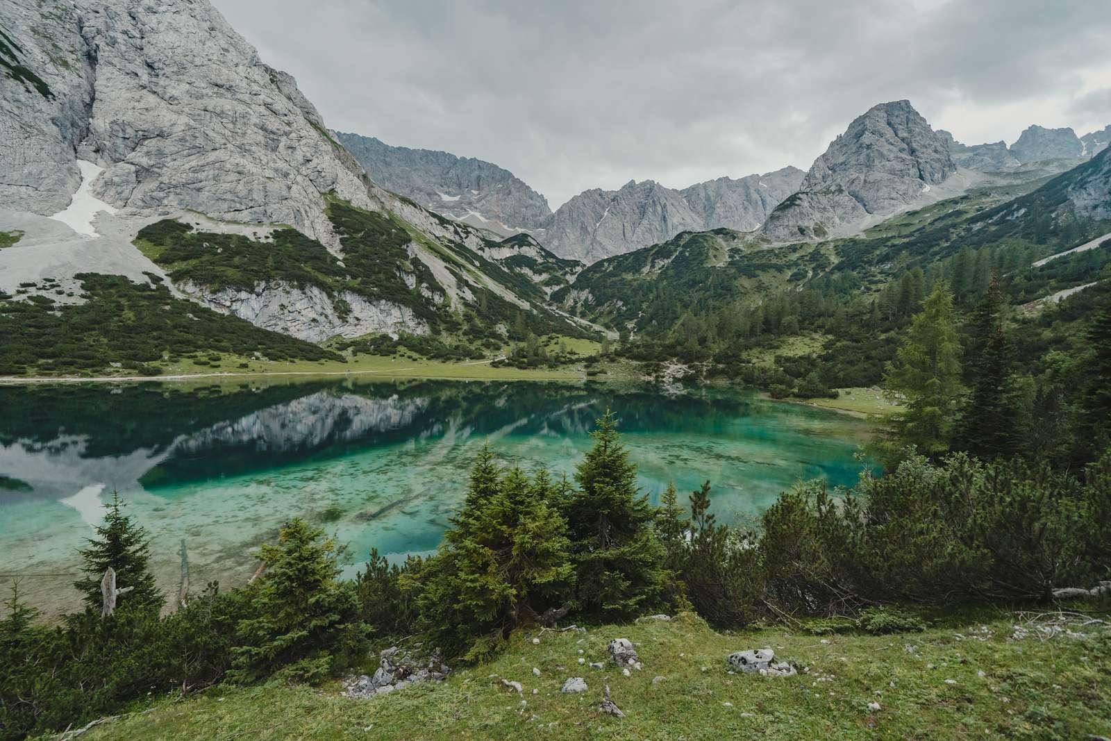
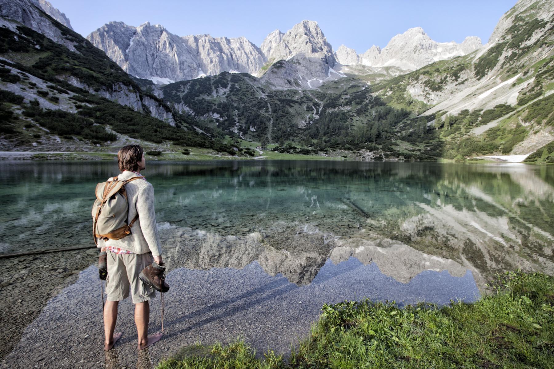
The Ehrwalder Almbahn takes you up to 1,500 m; from there, you hike on forest and hiking trails over the Seebenalm to Seebensee. This mountain lake is nestled in a rocky basin below the Ehrwalder Sonnenspitze – on calm days, the Zugspitze is beautifully reflected in the water.

Dining: Seebenalm (1,575 m)

Hiking the entire way from the valley: Round trip starting at the valley station 15.6 km, 693 m elevation gain, approximately 5:40 h (moderate).

Mountain LakeHut & AlmWith Cable CarFamily
Tour Details & Map
Coburger Hütte & Drachensee – EhrwaldDifficult© Tiroler Zugspitz Arena / Valentin Schennach

Ehrwald

Coburger Hütte & Drachensee

  • 11.2 km
  • 850 m elevation gain
  • 5:40 h
  • 1,915 m

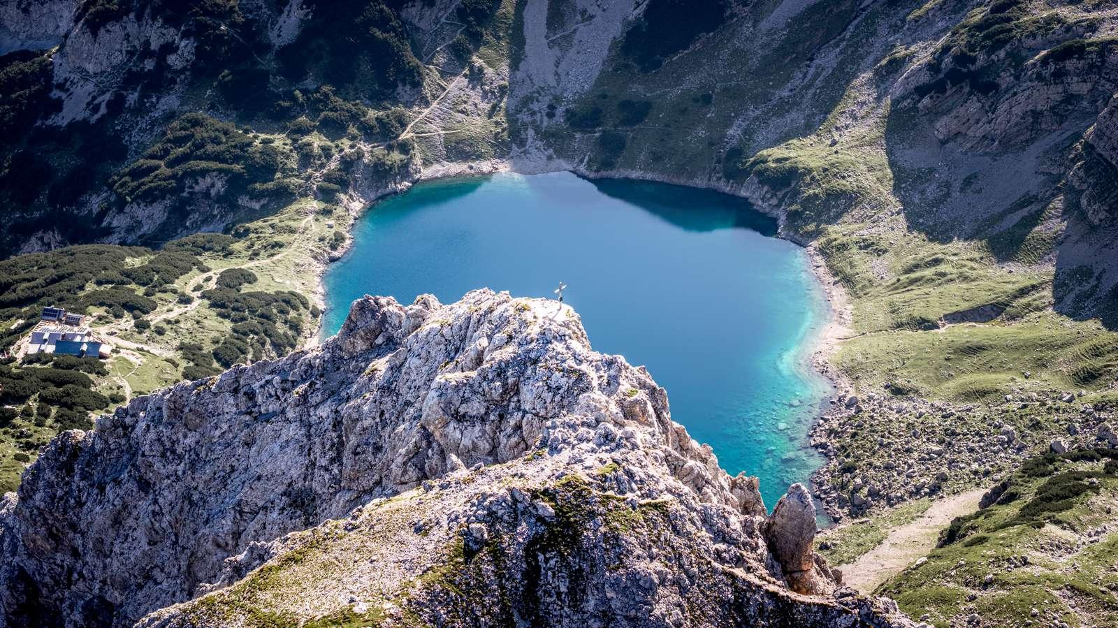
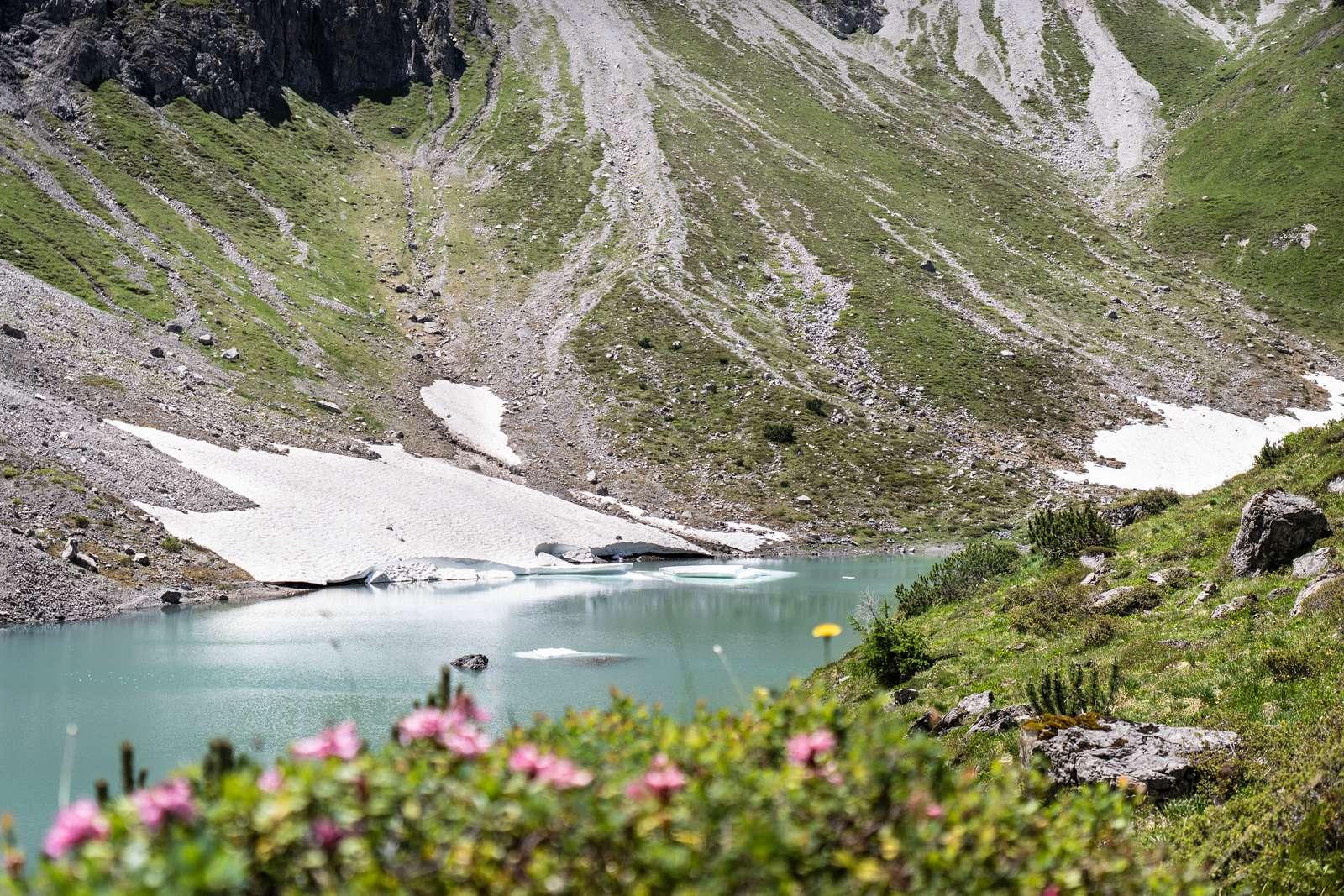
From Seebensee, winding paths lead up to the Coburger Hütte, right next to the turquoise Drachensee. Two mountain lakes in one day – the tour starting from Ehrwald includes cable-secured rock sections and requires sure-footedness and a head for heights.

Dining: Coburger Hütte (1,917 m), Seebenalm

Shorter with the Ehrwalder Almbahn: from Seebensee about 1 hour to the hut.

Mountain LakeHut & Alm
Tour Details & Map
Ins Gaistal zur Tillfussalm – EhrwaldEasy© Tiroler Zugspitz Arena / Sam Oetiker

Ehrwald

Into Gaistal to Tillfussalm

  • 7.3 km
  • 142 m elevation gain
  • 2:30 h
  • 1,630 m

From the Ehrwalder Alm, the trail winds through light forests into Gaistal, following the Gaisbach stream and passing Igelsee to Tillfussalm. The loop runs on forest and gravel paths and is also suitable for strollers.

Dining: Tillfussalm, Gaistalalm

Detour: Forest path to Hochfeldern Alm from Ehrwalder Alm, 2.9 km, 229 m elevation gain, approximately 1:10 h.

Hut & AlmWith Cable CarFamily
Tour Details & Map
Igelsee-Runde – EhrwaldModerate© Tiroler Zugspitz Arena / Valentin Schennach

Ehrwald

Igelsee Loop

  • 5.2 km
  • 219 m elevation gain
  • 1:50 h
  • 1,636 m

A short loop starting from the mountain station of the Ehrwalder Almbahn: along the Koatigen path to Igelsee and returning via the Knappensteig past the Pestkapelle. In hot summers, the small mountain lake noticeably shrinks.

Dining: Ehrwalder Alm

Mountain LakeWith Cable Car
Tour Details & Map
Hoher Gang zum Seebensee – EhrwaldModerate© Tiroler Zugspitz Arena / Sam Oetiker

Ehrwald

Steep Path to Seebensee

  • 600+ m elevation gain
  • 3–4 h
  • approximately 1,657 m

The most direct route from Ehrwald to Seebensee: Starting from Zippermühle, the secured trail climbs steeply through rock and gravel. It's not a climbing route, but only suitable for those who are sure-footed and not afraid of heights – the trail carries the Tyrolean hiking trail quality seal.

Dining: Seebenalm (1,575 m)

Descent via the Immensteig to Ehrwalder Alm, then down with the cable car.

Mountain Lake
Tour Details & Map
Zugspitze mit der Tiroler Zugspitzbahn – EhrwaldCable Car© Tiroler Zugspitz Arena / Nikola Radovic

Ehrwald

Zugspitze with the Tiroler Zugspitzbahn

  • 1,725 m elevation gain
  • 10 min ride
  • 2,962 m

In about ten minutes, the cabin ascends from 1,225 m to 2,950 m – at the top, enjoy a panoramic view of more than 400 peaks, right on the border with Germany. The Tiroler Zugspitzbahn is Tyrol's oldest cable car and will celebrate its centenary in 2026.

Dining: Panorama Summit Restaurant

For experienced mountaineers: Ascent via Gatterl and Knorrhütte, approximately 8 h, difficult.

With Cable CarSummit
Tour Details & Map
Gamsalm-Runde ab Ponöfen – EhrwaldEasy© Tiroler Zugspitz Arena / Lea Zotz

Ehrwald

Gamsalm Loop from Ponöfen

  • 4.8 km
  • 167 m elevation gain
  • 1:40 h
  • 1,311 m

A pleasant loop at the foot of the Wetterstein: From the Ponöfen parking lot, take the high trail to Gamsalm, over the Bäreneckweg to the valley station of the Zugspitzbahn, and back through the forest.

Dining: Gamsalm

Hut & AlmFamily
Tour Details & Map
Häselgör-Wasserfall & St.-Anna-Kapelle – EhrwaldEasy© Tiroler Zugspitz Arena / Sam Oetiker

Ehrwald

Häselgör Waterfall & St. Anna Chapel

  • 3.3 km
  • 68 m elevation gain
  • 1:00 h

From the viaduct in Ehrwald, a forest road leads directly past the roaring Häselgör Waterfall, then up through the forest to the small St. Anna Chapel. Ideal for a short loop with children.

Longer variant as a loop via Schmitte: 4.0 km, approximately 1:10 h.

WaterfallFamily
Tour Details & Map
Tuftl Alm mit Aussichtsplattform – LermoosEasy© Tiroler Zugspitz Arena / Nikola Radovic

Lermoos

Tuftl Alm with Viewing Platform

  • 4.5 km
  • 469 m elevation gain
  • 2:15 h
  • approximately 1,500 m

From the panoramic pool in Lermoos, follow the forest path up to Tuftl Alm. A few minutes above lies a viewing platform offering a view over the entire valley basin to the Zugspitze.

Dining: Tuftl Alm

As a round trip back via Ehrwald: 13.6 km, 615 m elevation gain, approximately 4 h.

Hut & AlmFamily
Tour Details & Map
Wolfratshauser Hütte – LermoosEasy© Tiroler Zugspitz Arena / Christoph Jorda

Lermoos

Wolfratshauser Hütte

  • 9.3 km
  • 758 m elevation gain
  • 3:40 h
  • 1,756 m

Take the wide forest path steadily up to the Wolfratshauser Hütte, an alpine club hut dating back to 1921, located on Grubigstein. From the top, enjoy views over the Lermooser Moos towards the Wetterstein massif.

Dining: Wolfratshauser Hütte (approximately 1,750 m)

Shorter but steeper: directly from Grubigsteinbahn via the Engelbert-Jäger-Steig, 3.8 km, 762 m elevation gain, about 3 h (moderate).

Hut & Alm
Tour Details & Map
Lermooser Moosrunde – LermoosEasy© Tiroler Zugspitz Arena / Nikola Radovic

Lermoos

Lermooser Moosrunde

  • 5.0 km
  • 20 m elevation gain
  • 1:00 h
  • 979 m

Flat and finely gravelled paths through the moor and reed fields between Lermoos and Ehrwald – along the golf course and the Loisach, and around the Tummebichl. Perfect for an evening stroll with views of the Zugspitze.

Family
Tour Details & Map
Gartnerwand & Grubigstein – LermoosDifficult© Tiroler Zugspitz Arena / Nikola Radovic

Lermoos

Gartnerwand & Grubigstein

  • 8.8 km
  • 1,379 m elevation gain
  • 6:20 h
  • 2,372 m

For summit collectors: From Lermoos through the Gartnertal to Sommerbergjöchle, along a secured path to Gartnerwand and over the ridge to Grubigstein. The return to the valley is conveniently made with the Grubigsteinbahn.

Places to stop: Gipfelhaus Grubigstein, Wolfratshauser Hütte

Climbing gear, sure-footedness, and a head for heights are required.

SummitHut & Alpine PastureWith cable car
Tour details & map
Loisachquellen & Mittersee – BiberwierEasy© Tiroler Zugspitz Arena / Nikola Radovic

Biberwier

Loisach Springs & Mittersee

  • 4.2 km
  • 75 m elevation gain
  • 1:15 h
  • 1,100 m

From the sports field in Biberwier, take the forest path to the Loisach springs, where water bubbles directly from the ground. Then, continue to Mittersee and return via the Pfarrer-Fink-Steig.

Mountain lakeFamily-friendly
Tour details & map
3-Seen-Wanderung am Fernpass – BiberwierMedium© Tiroler Zugspitz Arena / Valentin Schennach

Biberwier

Three Lakes Hike at Fernpass

  • 9.0 km
  • 295 m elevation gain
  • 3:00 h
  • 1,306 m

Visit Weißensee, Blindsee, and Mittersee in one day: From the Weißensee parking lot, take the old Roman path towards Zugspitzblick, descend to the deep blue Blindsee, and return via Mittersee.

Places to stop: Rasthaus Zugspitzblick

Easier alternative from the sports field in Biberwier: Fernpass loop, 11.0 km, 364 m elevation gain, approx. 3:40 h.

Mountain lake
Tour details & map
Marienbergalm übers Marienbergjoch – BiberwierMedium

Biberwier

Marienbergalm via Marienbergjoch

  • 7.6 km
  • 870 m elevation gain
  • 4:10 h
  • 1,805 m

From the valley station, ascend via the Barbarasteig and Sunnalm to Marienbergjoch (1,789 m) and then descend to Marienbergalm. With the Marienbergbahn, this becomes a short, leisurely alpine hike.

Places to stop: Sunnalm, Marienbergalm

Tip for kids: In summer, the Marienbergbahn offers a summer toboggan run and monster scooters.

Hut & Alpine PastureWith cable car
Tour details & map
Rund um den Heiterwanger See – HeiterwangEasy© Tiroler Zugspitz Arena / Valentin Schennach

Heiterwang

Around Heiterwanger See

  • 6.9 km
  • Flat
  • 1:45 h
  • 985 m

Take a stroll around Heiterwanger See, which is connected to Plansee by a canal. One shore features a wide gravel path (also suitable for strollers), while the other offers a narrow trail right by the water.

Places to stop: Fischer am See, Wirtshais'l am See

From mid-May to mid-October, scheduled boats operate on Heiterwanger See and Plansee.

Mountain lakeFamily-friendly
Tour details & map
Rotlechschlucht & Wasserfall – BerwangMedium© Tiroler Zugspitz Arena / Bernd Jaufmann

Berwang

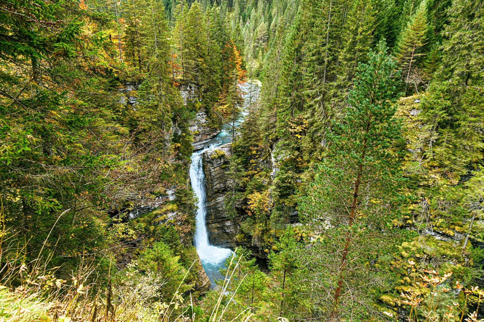
Rotlech Gorge & Waterfall

  • 3.3 km
  • 176 m elevation gain
  • 1:15 h
  • 1,264 m

From Rinnen, descend via a narrow winding path into Rotlech Gorge and steeply ascend to the viewpoint above the waterfall. The path can be slippery when wet – sturdy footwear is essential.

Shorter variant with a stroller along the valley road to the viewpoint: 1.1 km, approx. 20 min.

Waterfall
Tour details & map
Thaneller ab Berwang – BerwangMedium© Tiroler Zugspitz Arena / Matej Kurzweil

Berwang

Thaneller from Berwang

  • 4.9 km
  • 982 m elevation gain
  • 3:30 h
  • 2,341 m

Berwang's local mountain: Follow path 611 in many switchbacks through the Bannwald to Kampeleplatz, then through larch forests and flower meadows, finally over rocky terrain to the summit. Sure-footedness is necessary; there are no huts along the way.

Hiking time for the ascent; descent is via the same path or through Kampeleplatz to Rinnen.

Summit
Tour details & map
Zum Dreiensee – NamlosMedium© Tiroler Zugspitz Arena / Nikola Radovic

Namlos

To Dreiensee

  • 3.7 km
  • 633 m elevation gain
  • 2:40 h
  • 1,850 m

A tranquil mountain lake away from the usual destinations: From the village center in Namlos, the path steadily ascends to Dreiensee at 1,850 m. The alpine pasture there is not managed – bring your own provisions and enjoy a meal in Namlos afterwards.

Places to stop: Alpengasthof in Namlos

Mountain lake
Tour details & map

Information according to the tour portal of Tiroler Zugspitz Arena and tirol.at, without guarantee. Walking times do not include breaks; please check weather, trail conditions, and opening hours of lifts and huts before each tour.

Familie auf einem digitalen Erlebnisweg© Tiroler Zugspitz Arena / Lea Zotz

Hiking with children

Digital experience trails

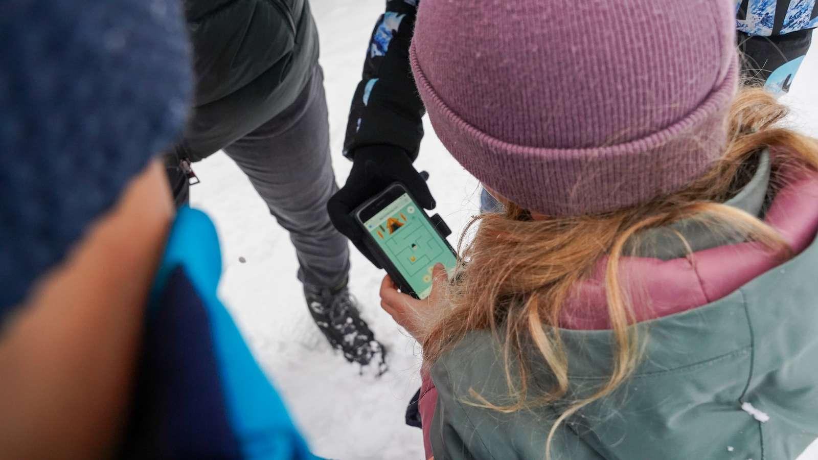
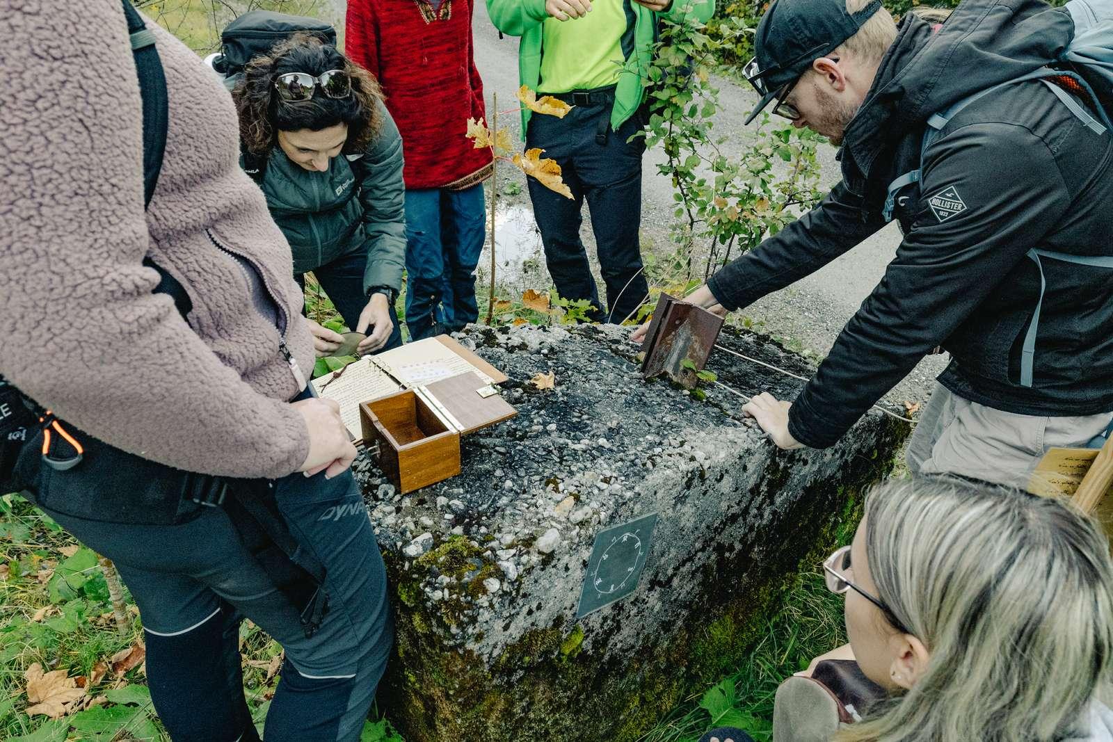
In six towns of the region, digital experience trails with puzzles, stories, and mini-games lead through nature. Scan the QR code at the start, open the free app – the stations will automatically unlock via GPS.

  • The Hunt for CoraEhrwald · 4.9 km · 1:30 hPuzzle round with the mountain lion Cora around Ponöfen and Gamsalm – stroller-friendly.
  • In the Footsteps of AugustusLermoos · 4.5 km · 1:30 hA Roman legionary tells about the Via Claudia Augusta and the salt trade.
  • The Hideout of CastorBiberwier · 4.1 km · 1:30 hJoin beavers Helena and Castor in finding a secret hideout.
  • Treasure Hunt with FinnHeiterwang · 4.5 km · 1:30 hJoin fish Finn and crow Doro on a treasure hunt – also accessible with wheelchair and stroller.
  • The Journey of JohannBichlbach · 4.7 km · 2:00 hCarpenter Johann guides you through the history of his craft to Auer Waterfall.
  • Meditation with Mia the CowBerwang · 3.0 km · 1:30 hMindfulness round with breathing and gratitude exercises.
Escape-Trail auf der Hochalm in Berwang© Tiroler Zugspitz Arena / Valentin Schennach

Outdoor puzzle adventures

Escape trails in Berwang

Three outdoor escape games with a backpack full of clues: The backpack is booked and picked up at the Berwang tourist office, then it's on foot to search for traces.

  • The Bear SecretApprox. 3 km · 2–3 h · for families with children aged 7–12 years
  • The Berwang Secret2.5 or 5 km · 2.5–3.5 h · for ages 14 and up
  • The Secret of the Hochalp SpiritApprox. 3 km · approx. 3 h · for ages 14 and up

The escape trails are not stroller-friendly – be sure to pack sturdy shoes.

Good to know

Frequently asked questions about hiking

Which hikes are suitable for families with children?

Very suitable are the Seebensee hike from Ehrwalder Alm (5.5 km, approx. 2 hours), the loop into Gaistal to Tillfussalm, the Lermooser Moosrunde, the Häselgör waterfall in Ehrwald, and the Loisach springs in Biberwier. Additionally, there are six digital experience trails with puzzles for children.

How do I get to Seebensee the easiest?

The most convenient way is with the Ehrwalder Almbahn to 1,500 m and from there about 2 hours over the Seebenalm to the lake (5.5 km, 222 m elevation gain, easy). Walking directly from the valley station is about 15.6 km and 693 m elevation gain as a round trip.

Which hikes can be done with a stroller?

Child-friendly routes include the circular path from Ehrwalder Alm to Gaistal, the Lermooser Moosrunde, the variant to the Häselgör waterfall, and one side of Lake Heiterwanger.

Can you hike from Ehrwald to the Zugspitze?

Yes, via the Gatterl and the Knorrhütte. The tour takes about 8 hours, is challenging, and is only suitable for experienced and sure-footed mountaineers. A more comfortable option is the Tiroler Zugspitzbahn, which takes you to 2,950 m in about ten minutes.

Which cable cars assist with hiking?

The Ehrwalder Almbahn (Ehrwalder Alm, Seebensee, Gaistal), the Tiroler Zugspitzbahn, the Grubigsteinbahn in Lermoos, and the Marienbergbahn in Biberwier. They operate in the summer approximately from mid-May to early November – you can find current times under Lifts & Hiking Weather.

Your Home Away from Home

Relax after your tour

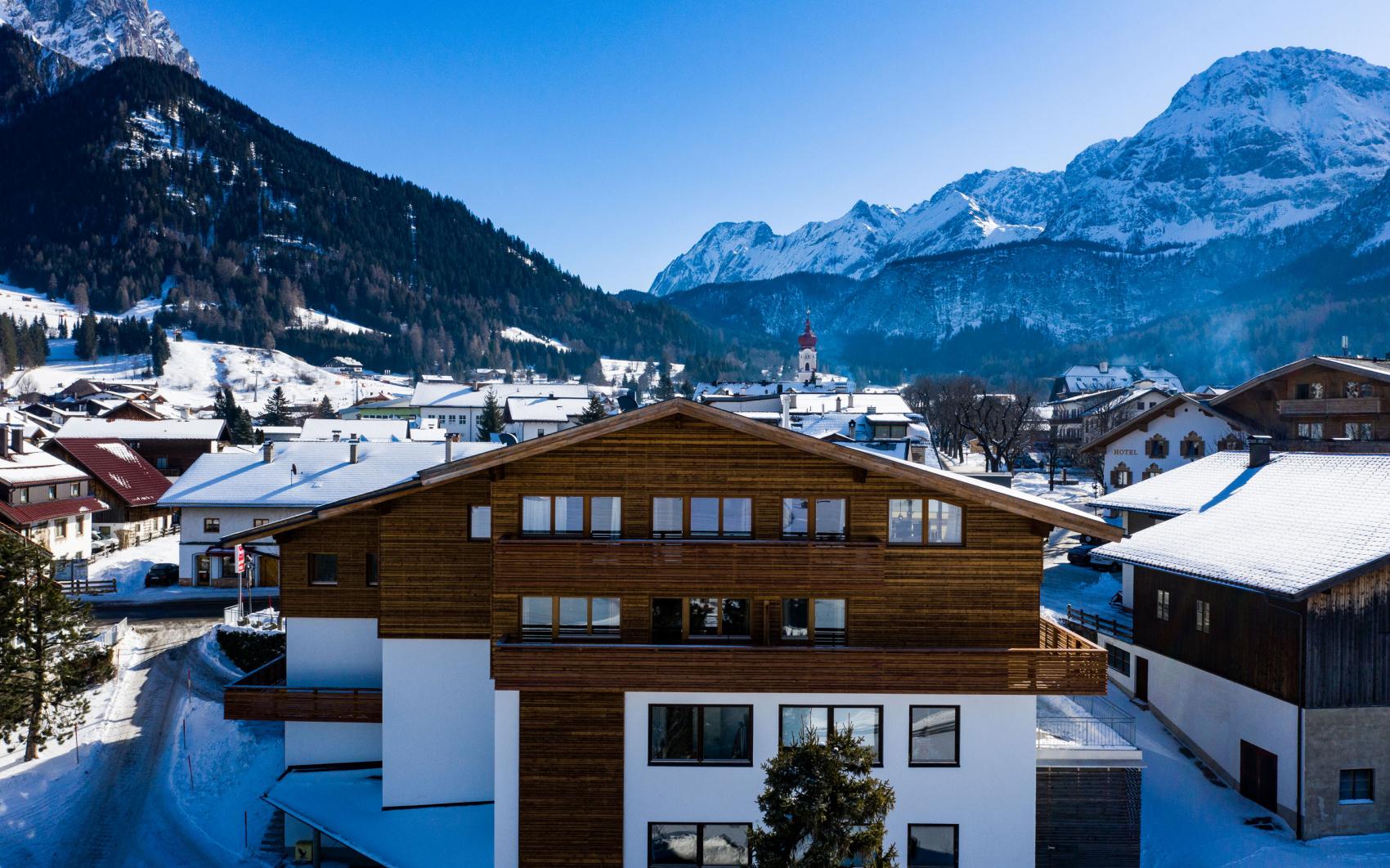
Over 100 hosts in Ehrwald, Lermoos, and Biberwier – many of them located right at the starting point of the most beautiful hikes.

Hosts Nearby

Accommodations for Your Vacation